


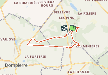

13.3 km | 16.5 km-effort

User


FREE GPS app for hiking
 SityTrail
IGN / Geographical institutes
SityTrail World
The world is yours!
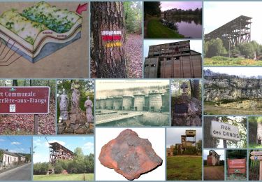
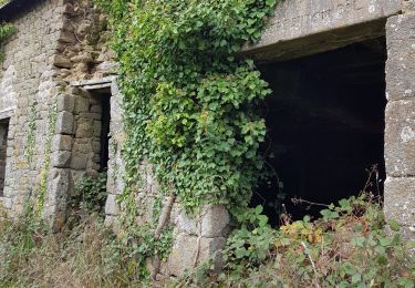
Trail Walking of 6.4 km to be discovered at Normandy, Orne, La Ferrière-aux-Étangs. This trail is proposed by Jeromefrando.

Walking
Walking

Walking

Mountain bike

Walking
Walking
Walking